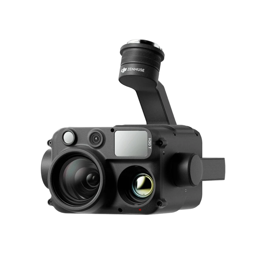
Payloads & accessories
DJI Zenmuse H30T
Multiple sensors. A clearer view of your mission.
Thermal resolution1280 × 1024
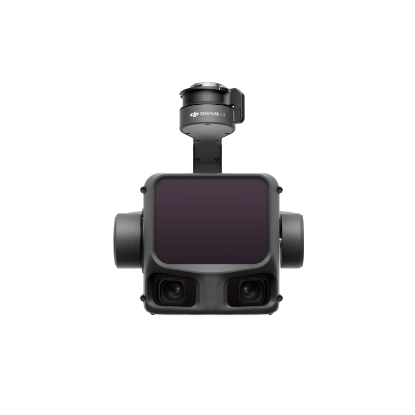 Payloads & accessories
An airborne LiDAR payload for professional geospatial data collection. Pair it with Matrice 400 and the required L3 gimbal connector for terrain mapping, forestry surveys and spatial documentation.
Pricing, configuration, availability and lead time are confirmed in the quotation.
Key specifications to guide your configuration.
Maximum values were measured under DJI-specified test conditions. Actual performance varies with configuration, environment and operation. Refer to the latest manufacturer specifications.
View full DJI specificationsExplore configuration approaches and procurement preparation for your application.
Verify specifications, manuals and configuration requirements in the manufacturer’s official resources.
Multiple sensors. A clearer view of your mission.
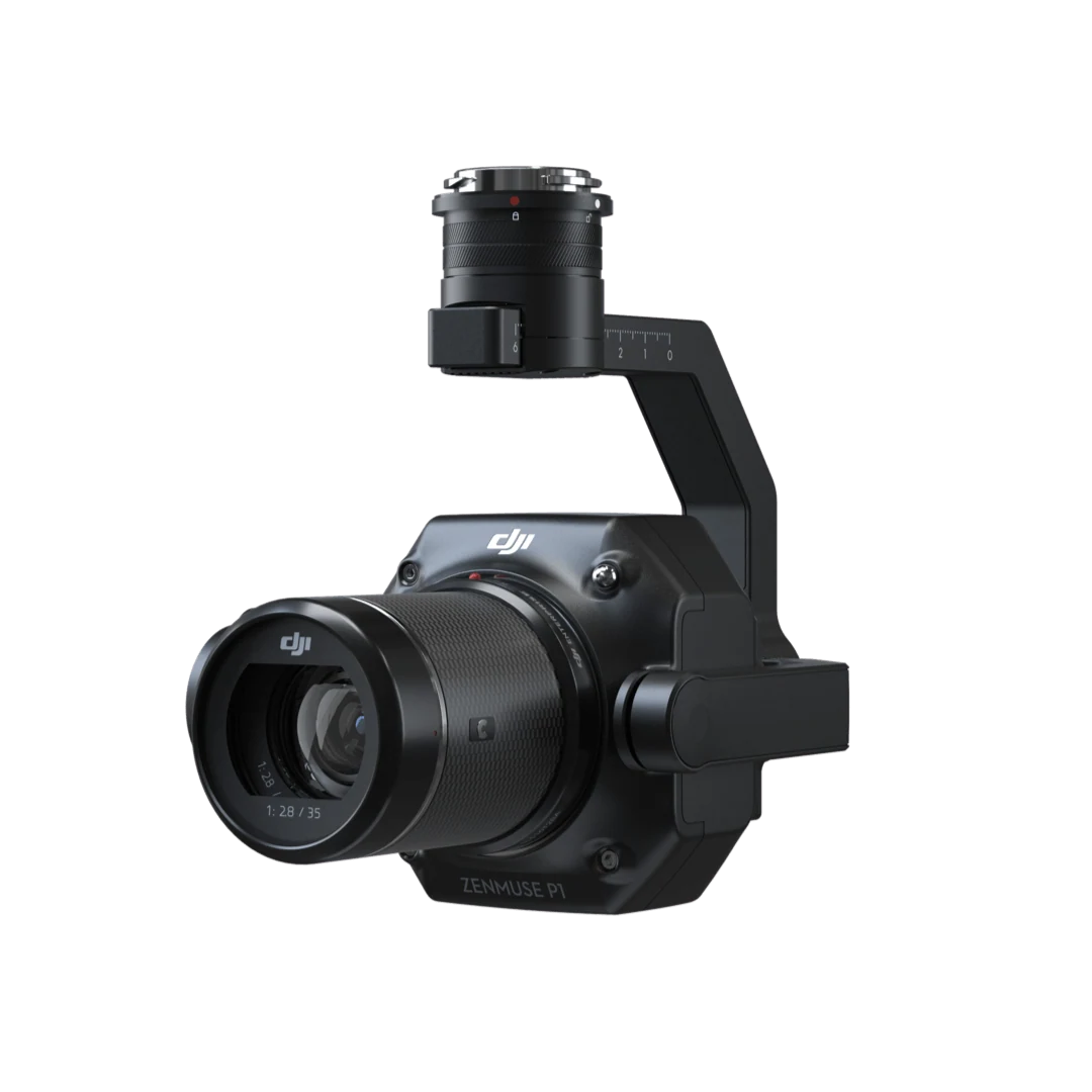
Full-frame imagery for precise photogrammetry.
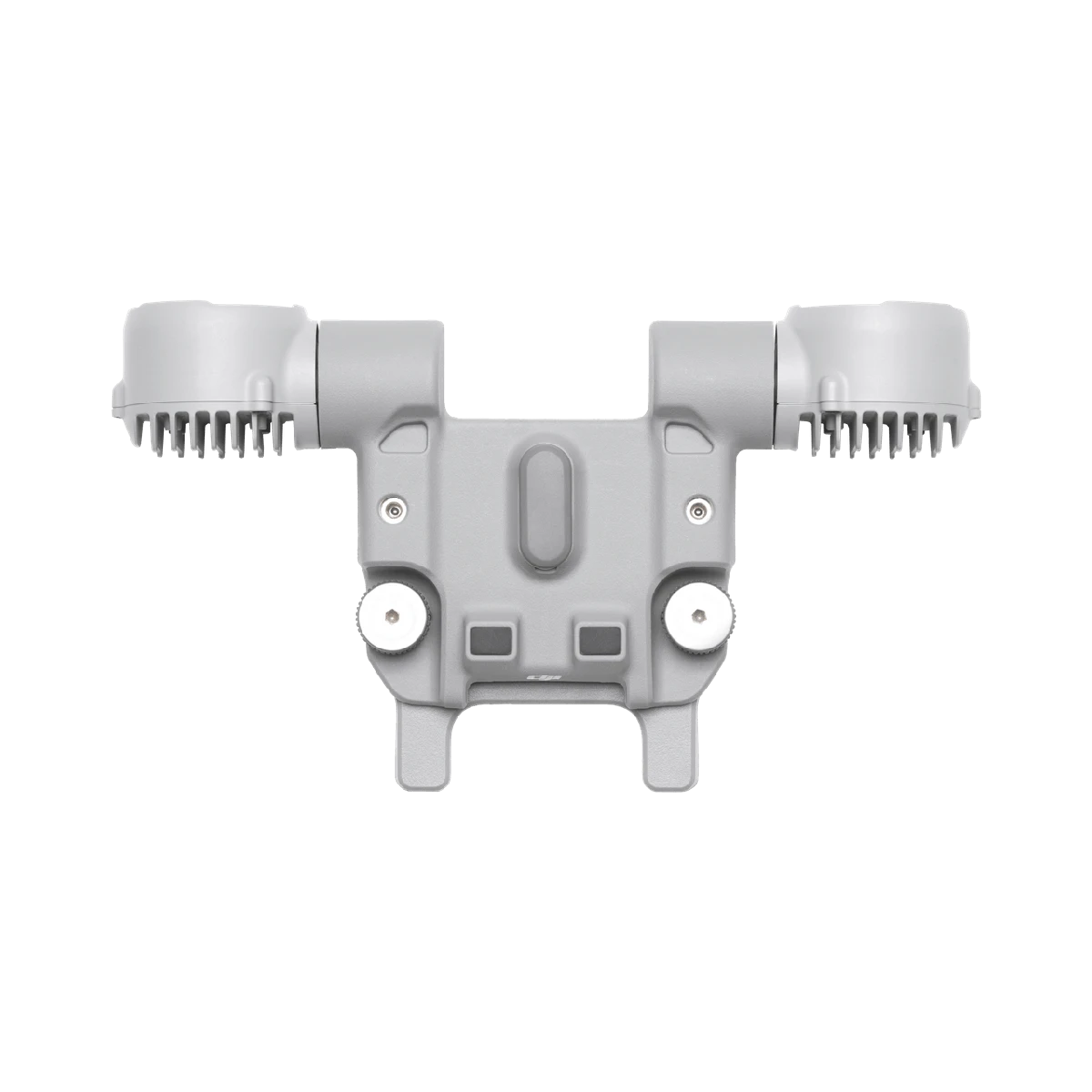
Tell us your industry, target equipment and procurement needs. Let’s build the right configuration.