Define the observation goal
Share crop types, area, observation cycles and analysis goals to determine whether multispectral capture fits the task.
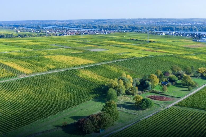
Combine multispectral observation and farmland mapping with agronomic expertise to interpret conditions across the field.
Discuss your configurationDetermine the information you need, then choose the platform and sensors.
Share crop types, area, observation cycles and analysis goals to determine whether multispectral capture fits the task.
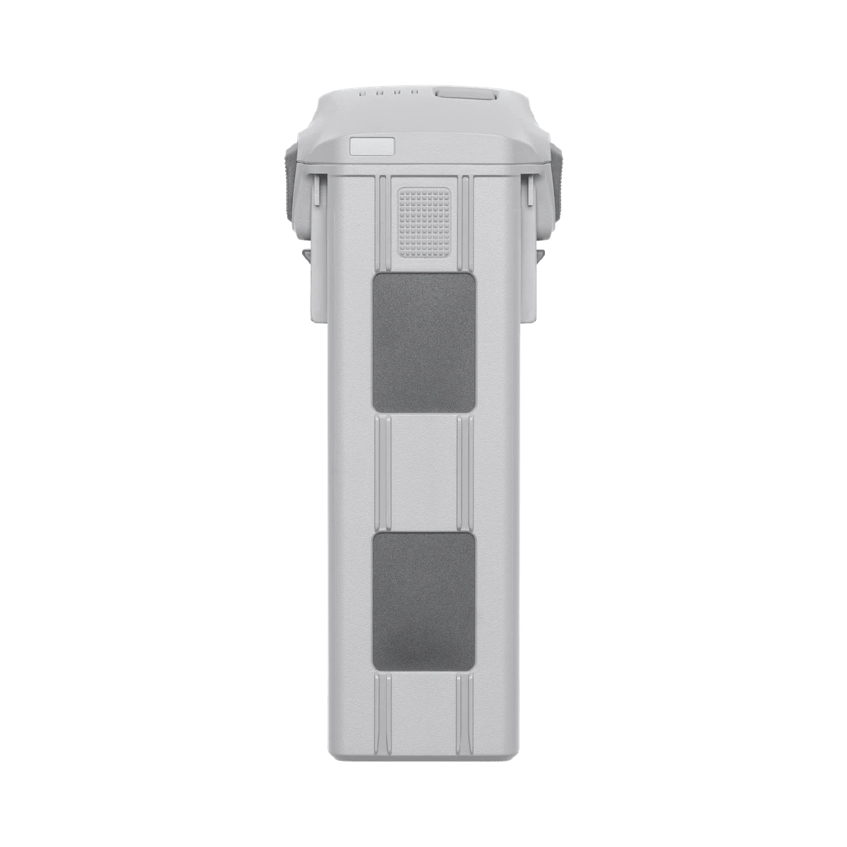
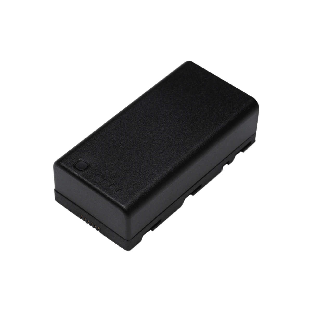
Start with Mavic 3 Multispectral, confirming compatible batteries, positioning needs and available processing software.
Interpret vegetation indices alongside ground samples and agronomic expertise. Sensor data is not a yield guarantee or an agronomic prescription.
Multispectral imagery, RGB basemaps and vegetation-index inputs, depending on software and agronomic validation.
Related equipment for consideration. Confirm compatibility and the full configuration before quotation.
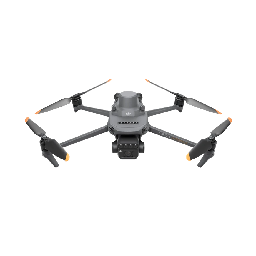
Understand every field in greater detail.
Tell us your industry, target equipment and procurement needs. Let’s build the right configuration.