Start from the deliverable
Define orthomosaic, point cloud or 3D-model requirements before deciding on ground resolution, control points and accuracy validation.
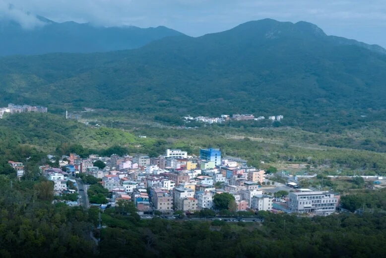
Choose photogrammetry or LiDAR around your terrain, coverage and deliverable requirements, with equipment suited to mapping and 3D capture.
Discuss your configurationDetermine the information you need, then choose the platform and sensors.
Define orthomosaic, point cloud or 3D-model requirements before deciding on ground resolution, control points and accuracy validation.
Consider Matrice 4E or a P1 configuration for photogrammetry. Evaluate Matrice 400 and L3 for vegetation and complex-surface projects.
Confirm processing software, coordinate systems, reference data and output formats. Validate project accuracy rather than treating maximum hardware specifications as a field guarantee.
Orthomosaics, point clouds, surface models or 3D models, subject to your software and project accuracy requirements.
Related equipment for consideration. Confirm compatibility and the full configuration before quotation.
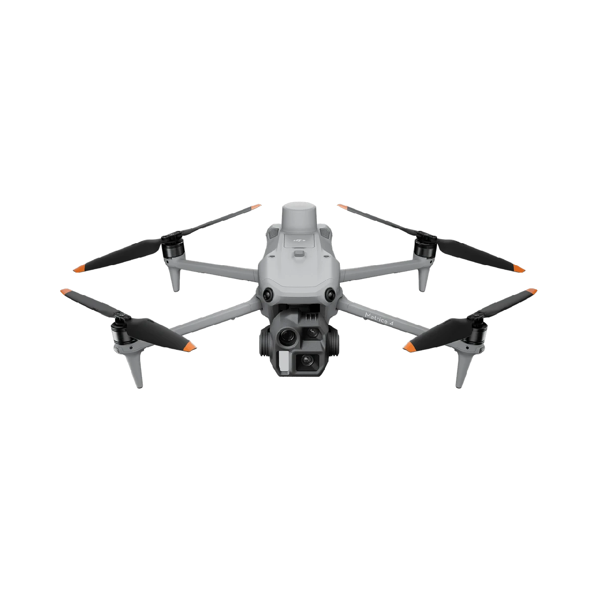
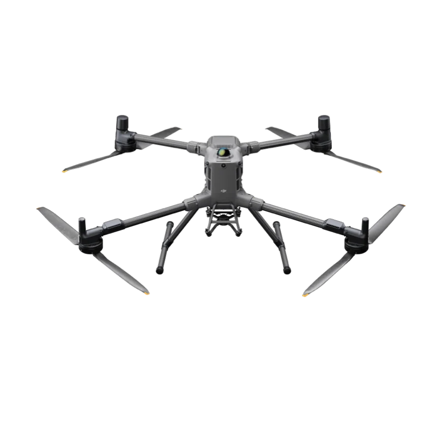
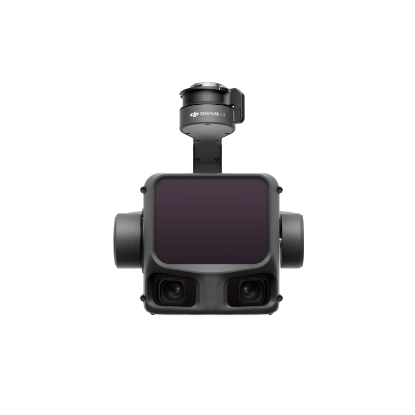
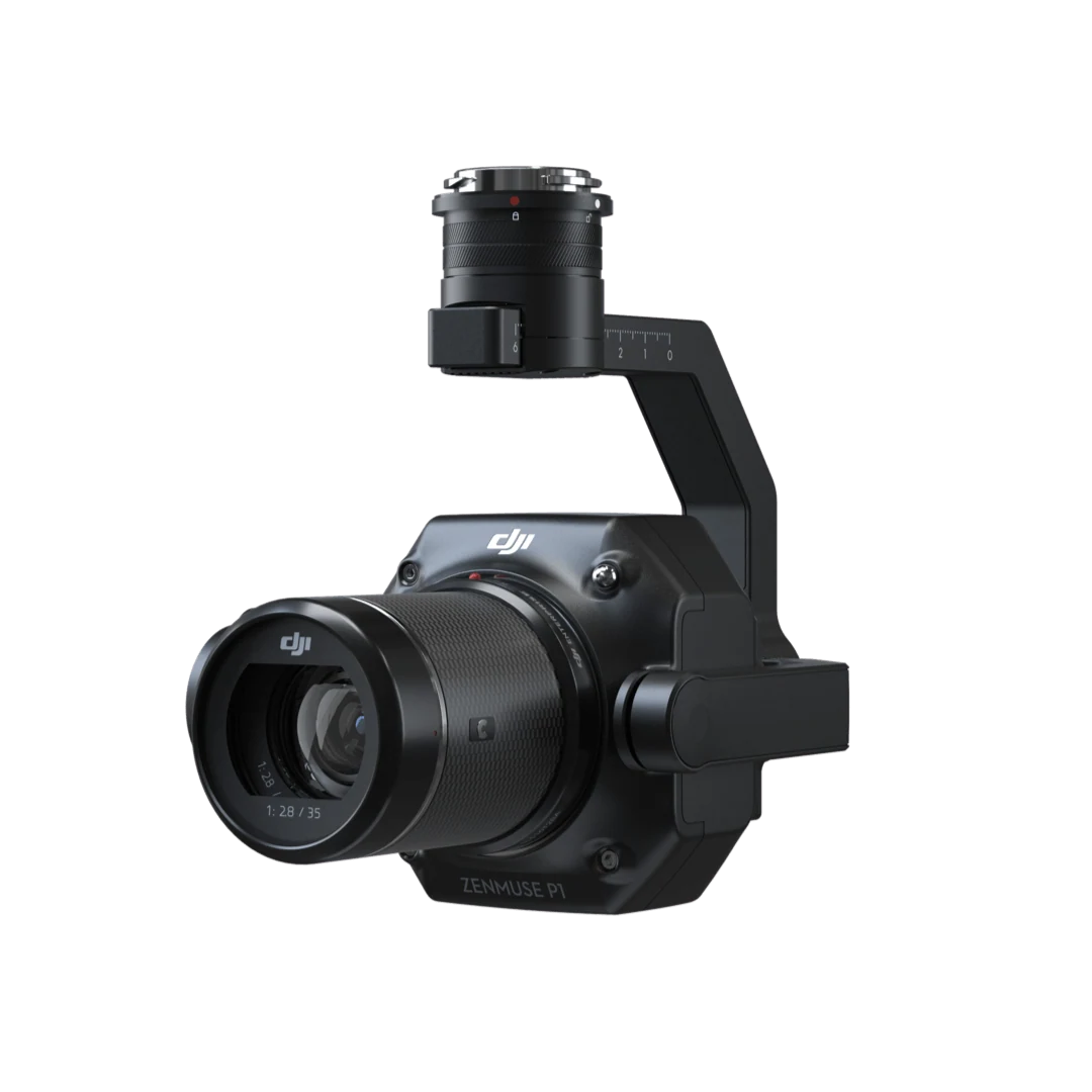
Full-frame imagery for precise photogrammetry.
Tell us your industry, target equipment and procurement needs. Let’s build the right configuration.