Define capture frequency
Define site area, frequency, users and data outputs. Separate manually deployed surveys from scheduled remote capture.
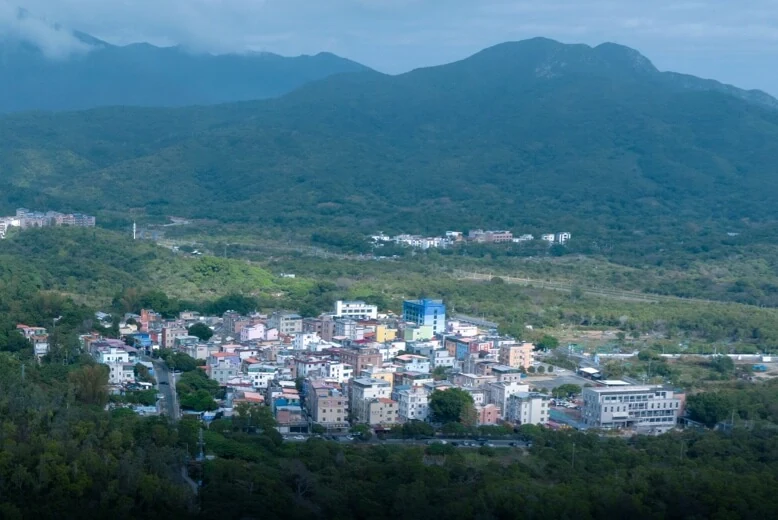
Support site documentation and asset inspection with consistent routes and imaging configurations for progress review and project communication.
Discuss your configurationDetermine the information you need, then choose the platform and sensors.
Define site area, frequency, users and data outputs. Separate manually deployed surveys from scheduled remote capture.
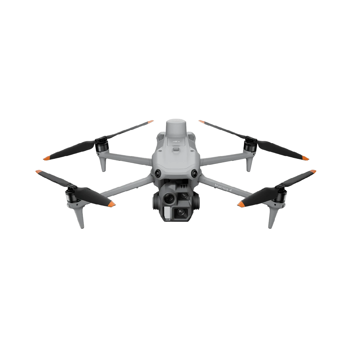
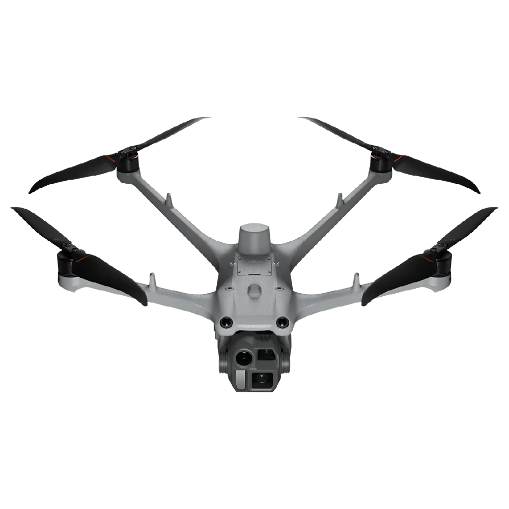
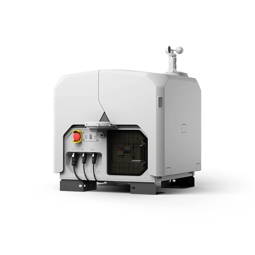
Consider Matrice 4E for field capture or Dock 3 with Matrice 4D for fixed sites with suitable deployment conditions.
Align output formats and coordinates with engineering software and acceptance criteria, preserving consistency across capture cycles.
Progress imagery, orthomosaic basemaps and 3D documentation; quantities and accuracy need validation in the chosen workflow.
Related equipment for consideration. Confirm compatibility and the full configuration before quotation.
Your operations. Connected to the field.
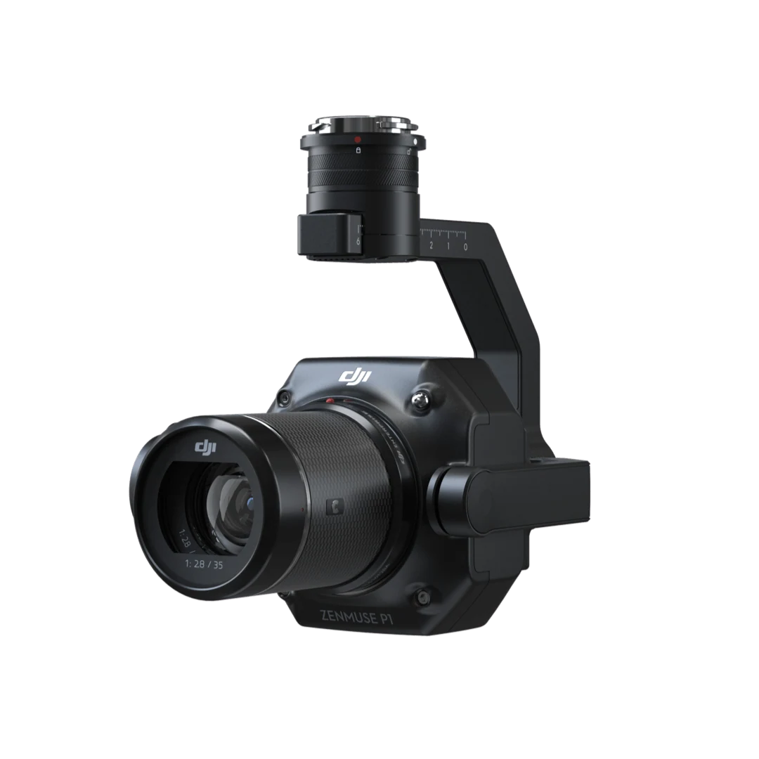
Full-frame imagery for precise photogrammetry.
Tell us your industry, target equipment and procurement needs. Let’s build the right configuration.