Start with your industry.Put aerial capability to work.
Different missions call for different equipment. Explore options around your data, environment and workflow.
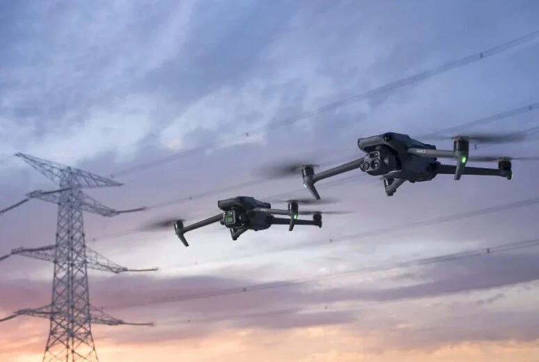
Energy & utilities
From transmission corridors to solar assets, plan visual and thermal inspections around the information your maintenance team needs.
Explore solution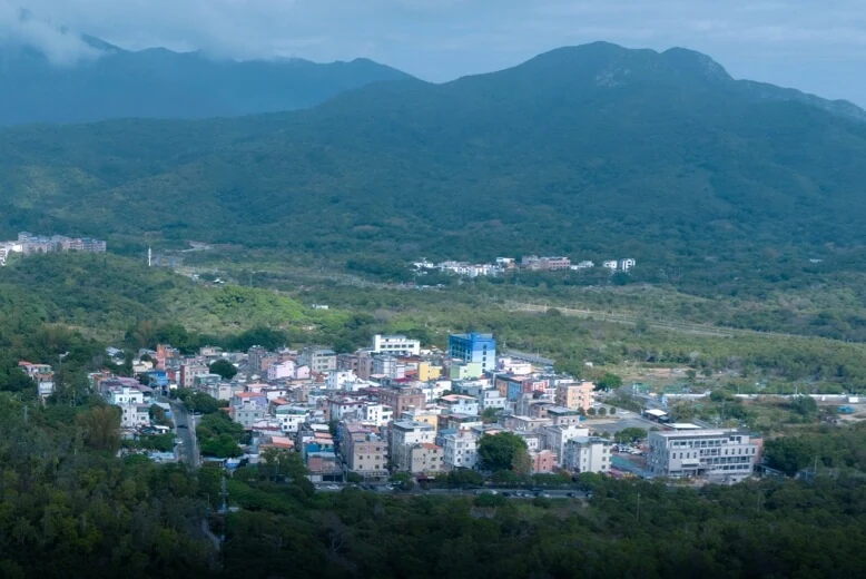
Surveying & mapping
Choose photogrammetry or LiDAR around your terrain, coverage and deliverable requirements, with equipment suited to mapping and 3D capture.
Explore solution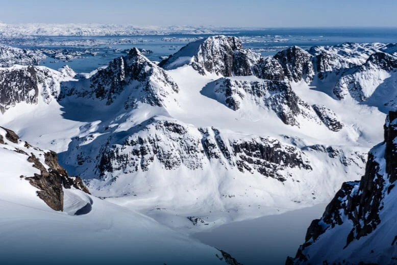
Public safety
Combine aerial awareness, thermal imaging, lighting and audio for search, incident observation and field coordination.
Explore solution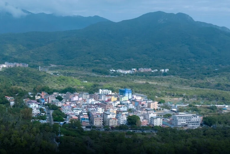
Construction & infrastructure
Support site documentation and asset inspection with consistent routes and imaging configurations for progress review and project communication.
Explore solution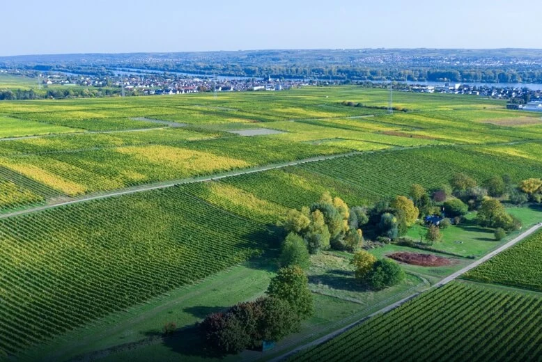
Precision agriculture
Combine multispectral observation and farmland mapping with agronomic expertise to interpret conditions across the field.
Explore solution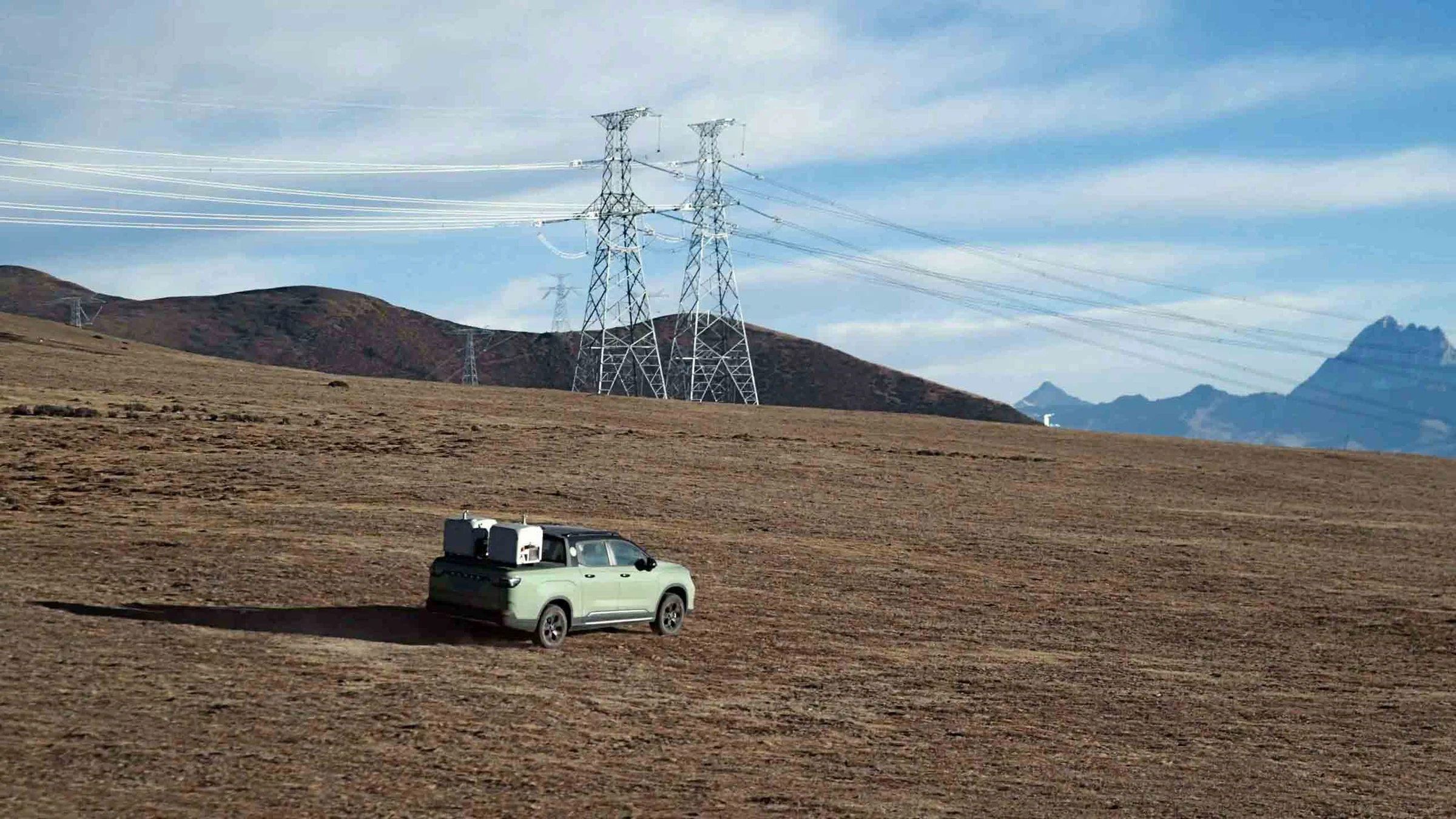
Remote operations
Evaluate dock deployment, remote missions, connectivity and data flows with DJI Dock 3 and the Matrice 4D series.
Explore solutionFrom a requirement to a clear configuration.
Describe the mission
Application, destination and required outputs.
Define the configuration
Aircraft, payloads, batteries and compatibility.
Receive your quotation
Confirm quantities, trade terms and scope.
Your next mission starts here.
Tell us your industry, target equipment and procurement needs. Let’s build the right configuration.